
Chandler Neighbors by Source
A block lookup combines a spatial source with carefully limited public records. Parcel Viewer answers which lots touch. InfoMap supplies registered neighborhood boundaries and civic contacts. The Assessor names owners, while historical directories can name past occupants. Voter data has a narrower legal path and should never be treated as an open block roster.
| Source | What It Shows About a Block | Access |
|---|---|---|
| Assessor Parcel Viewer | Lot shapes, adjacent parcels, owners, situs and mailing fields | Free interactive map |
| Chandler InfoMap | Registered boundary, public contact, homes count, establishment date | Free map; full form by request |
| Assessor roll | Current owner, APN, deed and subdivision links | Free property search |
| Voter file | Permitted voter and precinct fields, with protected records removed | Purpose-limited request |
| Historical directories | Dated occupants along a street | Arizona Memory Project or repository |
An owner may live elsewhere, and one owner record says nothing about other people in the home. Treat each source as one dated layer. The Chandler neighbors named by public civic records may be association contacts, not household members.
Map Chandler Neighbor Parcels
Start in the Maricopa County Assessor Parcel Viewer. Its address box suggests matches and zooms to a point. Click the polygon beneath that point to open parcel facts. Then move one border at a time. This method follows the actual lots rather than guessing which house numbers count as nearby.
- Enter the address and choose the correct autocomplete result.
- Click the parcel polygon and record its APN, owner, property address, and mailing address.
- Select each bordering polygon in turn and keep the same fields for every lot.
- Use the aerial or basemap and zoom controls to resolve narrow or irregular parcel lines.
- Clear old results before checking a new part of the Chandler block.
The full named-street chain, including deed and permit work, belongs in the Chandler street directory. A neighbor lookup should stay focused on the immediate ring of parcels.
Subdivision and ZIP deep links can widen the view after the first ring is documented. Use them for context, not to turn a block task into a citywide list. The polygon remains the key unit because house-number sequences can skip, curve, or cross a private street.
Separate Chandler Owners From Neighbors
Parcel Viewer repeats owner, property address, and tax mailing address in its side panel. The property address is the land's situs. The mailing address is where the tax notice goes. A mismatch might reflect an owner who lives elsewhere, a manager, or a simple mailing choice. A match is still not proof of occupancy.
Renters, relatives, roommates, and other household members generally do not appear on a parcel card. Utility, delivery, block-watch, congregation, and private association membership lists are not public resident rolls. Accurate Chandler neighbor research uses terms such as parcel owner, public contact, or historical occupant instead of turning each name into a claim about who currently lives there.
Deed and MCR links can confirm which parcel the owner record describes. A deed proves a recorded transfer, not daily presence. If a parcel belongs to a trust or business, search the Recorder's Business Name field for the recorded party, while keeping the entity address distinct from a home address.
Explore Chandler Neighbor InfoMap
Chandler InfoMap adds civic geography that the county parcel map does not. Its Near Me tool accepts an address and returns nearby facilities. The Neighborhoods widget can open a registered boundary, public contact, number of homes, establishment date, and printable map. A private-street layer can also explain why maintenance or permit evidence differs from a nearby public street.
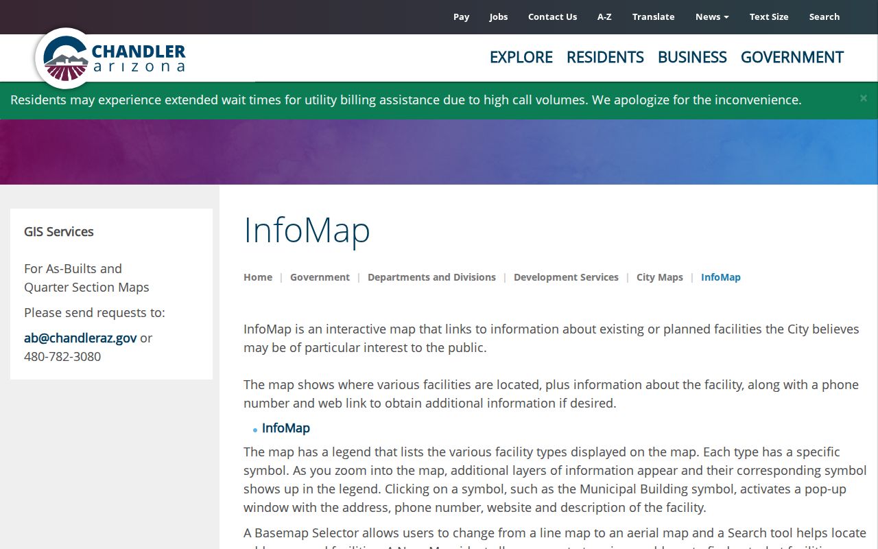
The map helps place an address within public civic layers, but it does not identify everyone in the homes it displays.
InfoMap also helps test municipal jurisdiction. A Chandler postal label is not the same as a point inside Chandler city limits, and a private-street overlay can change which city service or maintenance record is likely to exist. Confirm the layer before contacting an office.
Over 300 Chandler Neighborhoods
InfoMap exposes more than 300 registered neighborhoods. That large count makes the city tool a useful discovery layer for Chandler neighbors and community groups. Registration can show how many homes the group covers and when it was established, details rarely found in a basic property search.
The registered Chandler neighborhood finder is the public starting point.
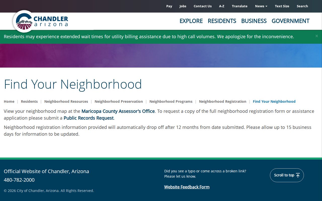
Registration is time-sensitive. City information drops after twelve months, and an update can take fifteen business days. A missing group may be stale or unregistered rather than nonexistent.
Chandler Neighbor Community Contacts
Neighborhood registration is a civic contact system, not a resident directory. The public entry can lead to the person designated for association business. Chandler also says the full registration form may be requested through the city public-record route. That does not promise a membership list.
| Contact Layer | What to Expect | Limit |
|---|---|---|
| InfoMap neighborhood entry | Boundary, homes count, date, public contact | Registered groups only |
| City registration form | Filed organization contact details | Request and review may apply |
| HOA or civic group | Voluntarily published board contact | No promised household roster |
| Block watch or congregation | Public program contact, if published | Participation is generally private |
A respectful first contact uses the association's stated channel and asks about public events or civic issues. It does not seek a private roster.
When the public entry looks old, request the filed form by neighborhood name and a narrow date range. City review may remove private or protected details. The useful result is the current public-facing contact and boundary, not a list of residents who participate.
Chandler Voter Lists Aren't Neighbor Rolls
ServiceArizona verifies one person's registration with identity facts. It has no public browse-by-street mode. Maricopa County supplies certain voter files through a records request under A.R.S. § 16-168, which limits purpose, use, transfer, and Internet posting. Protected voters are omitted, and sensitive identifiers stay withheld.
The Arizona voter-list statute sets those boundaries.
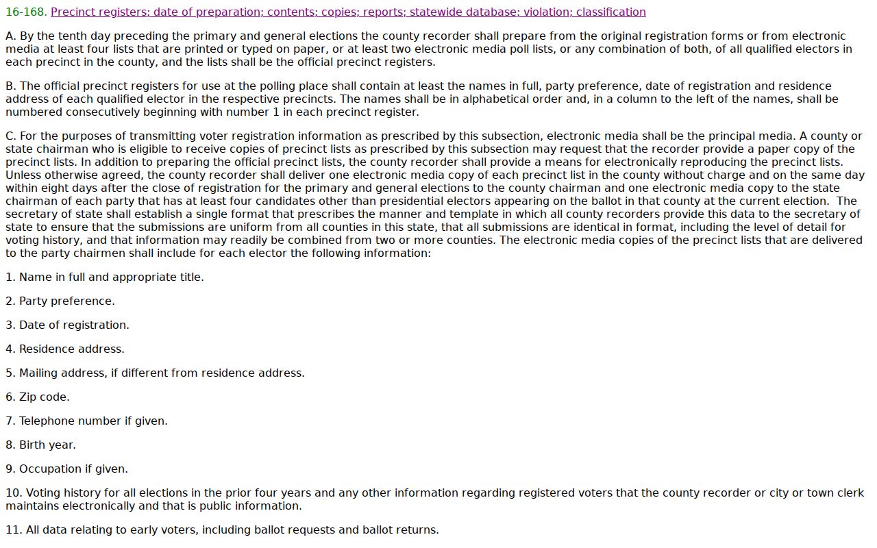
Property parcels are the suitable general-public map for the block. A voter file is not a shortcut for casual curiosity about Chandler neighbors.
Even an authorized file does not show ballot choices. It may contain participation history, precinct, district, registration status, and permitted contact fields, but protected rows and sensitive identifiers remain absent. Never treat an omission as proof that no voter lives at an address.
Earlier Chandler Neighbors
A historical block requires a dated directory or census rather than today's parcel owners. The verified 1955 Mesa-Tempe-Chandler directory and 1958 Chandler directory can connect printed house numbers with occupants when their street sections are present. Always consult the volume's abbreviation key, then compare alphabetical entries for spouse and work clues.
The 1950 census can add household and neighbor context. Chandler may appear within a combined metropolitan title, so catalog searches should include Mesa, Tempe, Phoenix, East Valley, publisher, and year. Old directories omit some people and freeze one moment in time. They do not prove a continuous household.
Street numbers should be matched with care. Chandler and Maricopa County publish separate address-block maps, and later annexation or postal changes can break a simple text match. Compare the street section, nearby entries, subdivision clues, and census geography before joining two eras.
Official and Commercial Block Data
Official sources name the custodian, field, and date. The Assessor shows parcel ownership. InfoMap shows a registered civic contact. A directory shows a historical entry. Commercial neighbor tools may blend public records with marketing data, merge people with similar names, or retain old addresses without explaining the source.
| Official Chandler Layers | Commercial Compilations |
|---|---|
| Clear office and record purpose | Source chain may be unclear |
| Dated parcel or registration fields | Update date may be vague |
| Correction starts with the custodian | Opt-out and correction vary by provider |
| Known statutory limits | May mix public and bought data |
Use the original public record for any fact that matters. An aggregate should never turn an uncertain match into a claim about a person at a Chandler address.
Protect Chandler Neighbor Record Privacy
Arizona's Address Confidentiality Program provides qualifying victims with a substitute address and mail forwarding. Protected voter records are sealed under A.R.S. § 16-153. Real-property confidentiality follows separate county procedures. Those systems are meant to prevent a public lookup from exposing an actual address.
Neighbor research should support civic connection, block history, or personal safety awareness. It should not be used to watch, pressure, repeatedly contact, or expose another person. Arizona stalking and harassment laws can apply to misuse of location facts. If a public source omits an address, do not try to defeat that protection through another channel.
When a record looks wrong, note its date and ask the source office about correction. The Assessor handles parcel-roll facts, the Recorder handles recorded instruments, and Chandler handles its neighborhood registration. Do not spread a disputed name or address while the custodian reviews it. A calm source-first correction protects both the record and the people on the block.
Use the smallest search scope that answers the question. One address and its bordering parcels are often enough. Broad collection adds risk without making a block-level conclusion more sound.
Lawful use. Treat Chandler neighbors with care and never use parcel, voter, or civic records to stalk, harass, intimidate, or harm anyone.